


Aerial Stills
Breathtaking Images. Elevated Perspectives
Capture From Above
Our aerial photography service delivers stunning high-resolution images that showcase your project from breathtaking perspectives. Using state-of-the-art drones with professional camera systems, we capture crisp, detailed photographs that bring your vision to life. From dramatic landscape panoramas to detailed site documentation, our skilled pilots deliver imagery that elevates any project.

High-Resolution Imagery
Panoramic Stitching

Unique Vantage Points

Rapid Turnaround
Professional RAW Workflow
Print-Ready Quality
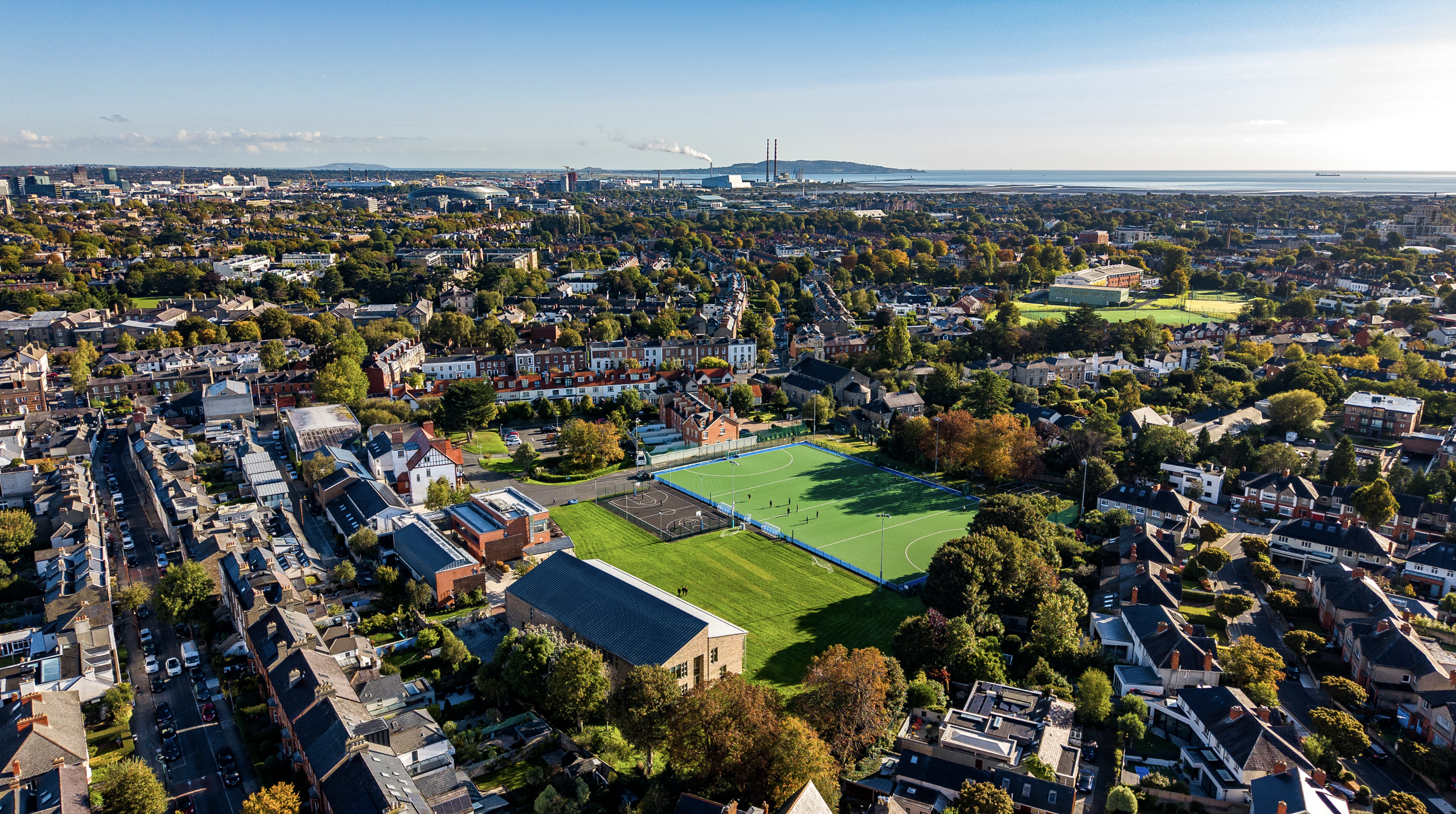
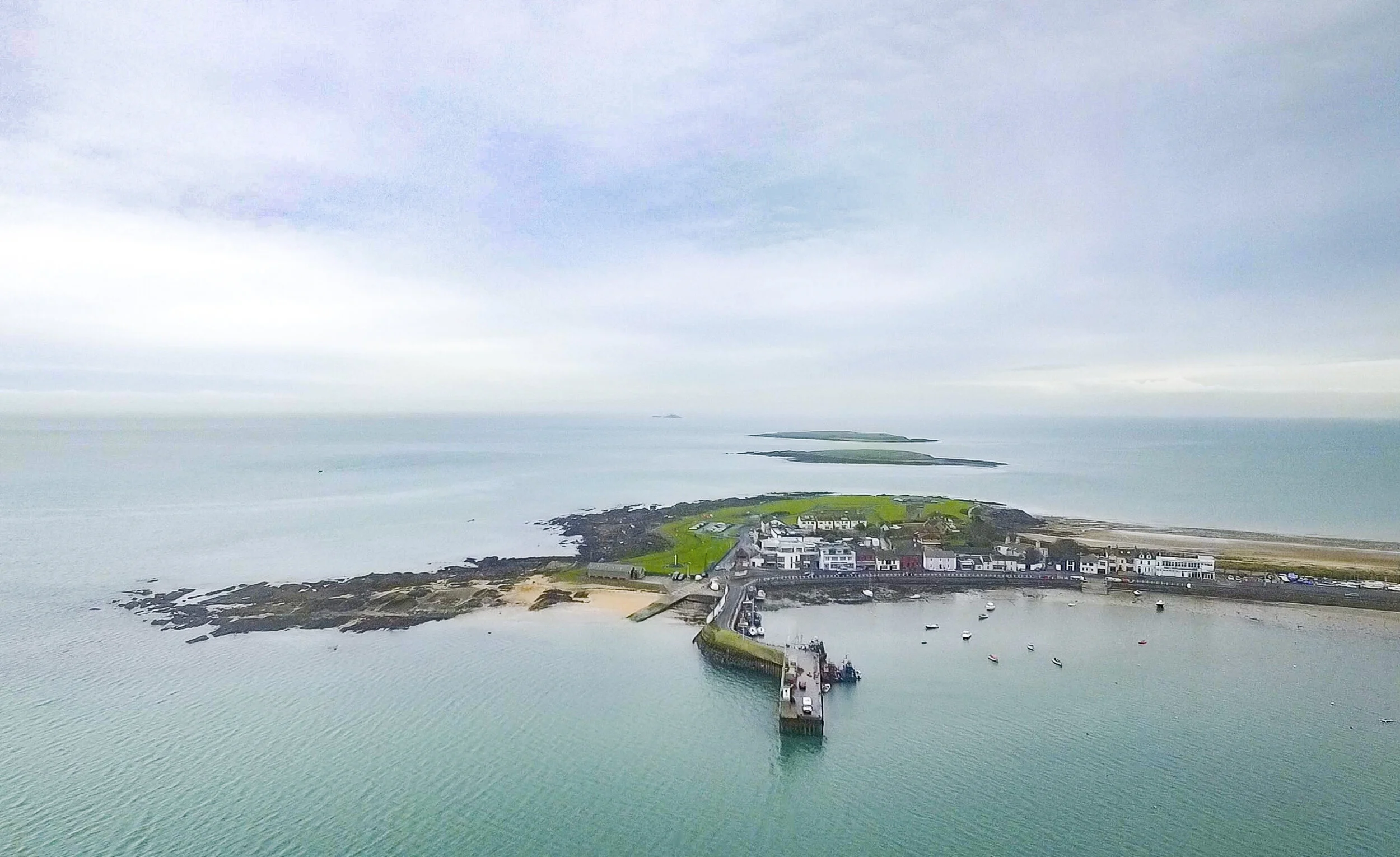
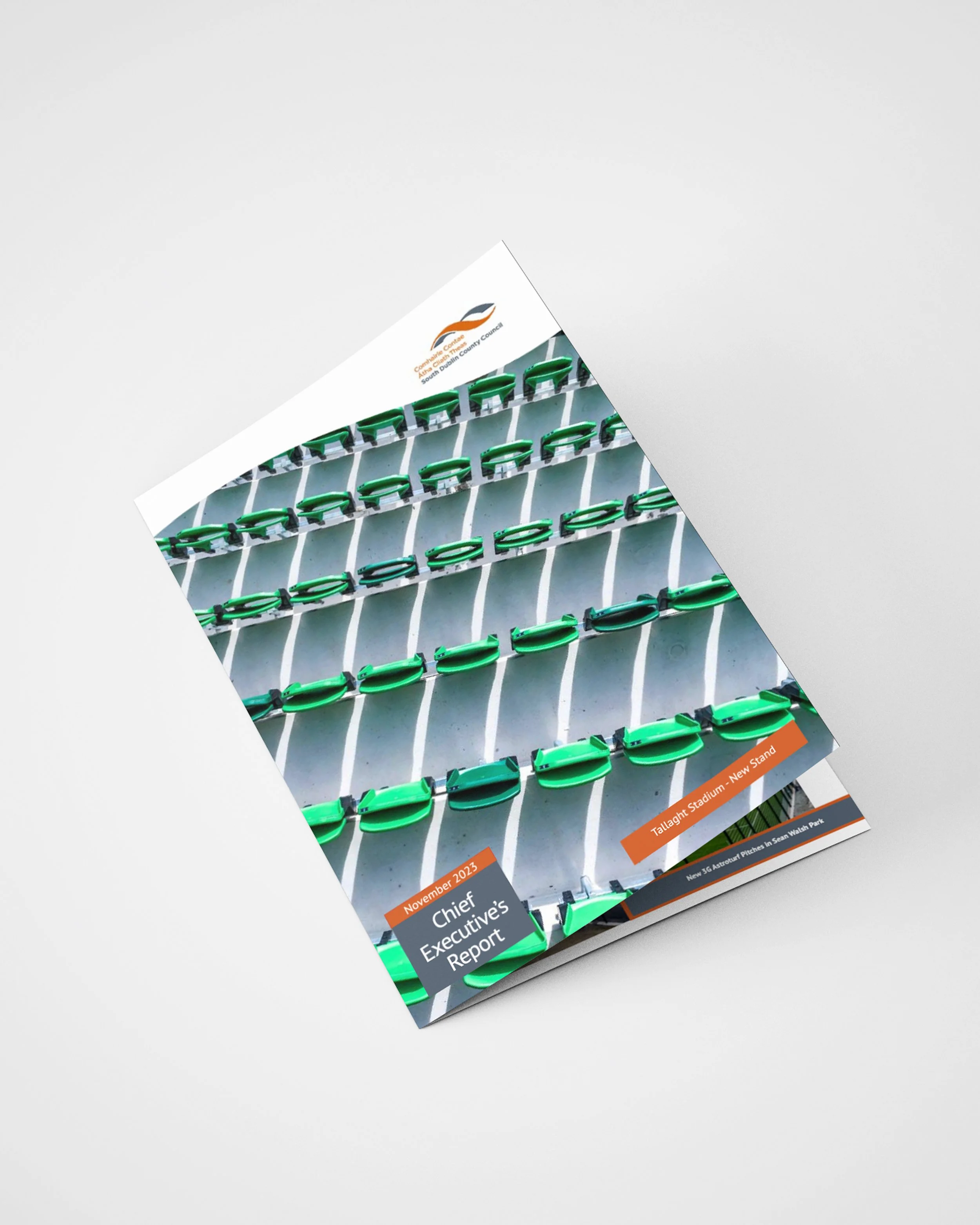
CASE STUDY
Sandford Park School
As a trusted partner, we align our expertise with your organizational goals, delivering tailored solutions that drive measurable outcomes and long-term success.
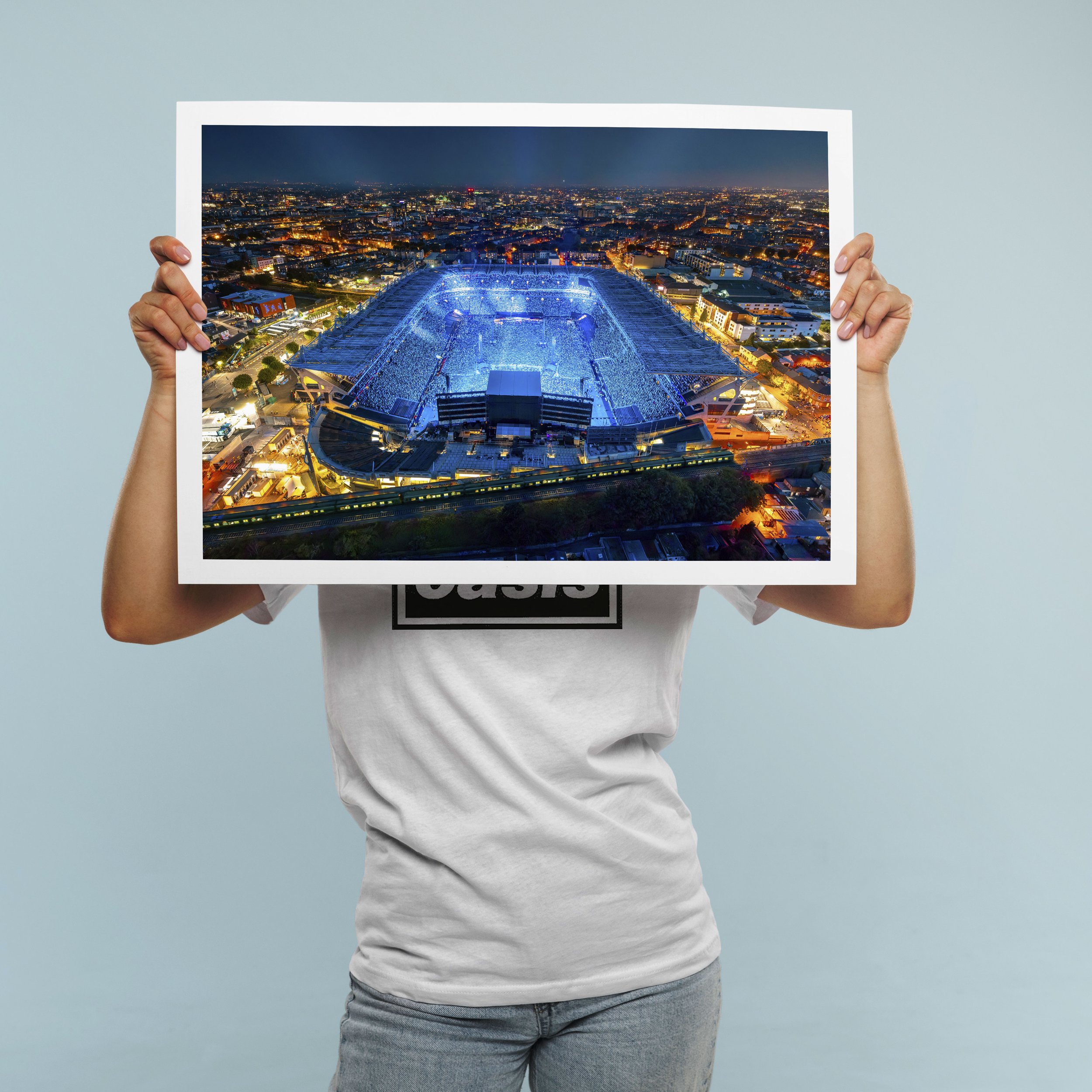
Striking Imagery
Aerial photography delivers perspectives impossible to achieve from the ground. Our high-resolution drone cameras capture stunning detail and composition, giving your project visuals that stand out in marketing materials, websites, and print publications.
Endless Possibilities
From property marketing and construction progress to event coverage and tourism promotion, aerial stills add impact across every sector. We tailor each shoot to your specific needs, whether you require wide establishing shots or detailed close-ups.
Publication-Ready
Our experienced pilots and professional-grade cameras deliver images ready for any application. With RAW file delivery, colour grading options, and rapid turnaround, you get print-quality results that meet the highest standards.
Our Process
Working with Aerial is a seamless and professional experience from start to finish. We handle everything from planning and compliance to data capture and final delivery, ensuring a hassle-free process for our clients. Our team prioritizes efficiency, accuracy, and safety, so you get high-quality results without disrupting your operations. Below is a step-by-step breakdown of what you can expect when partnering with us.

We begin with a discussion to understand your project’s needs, scope, and objectives. A precise flight plan is designed to capture the required data efficiently. We coordinate with your team to schedule flights at the best times for minimal disruption.
1. Consultation & Planning

2. Aerial Capture
Using advanced drone technology, we capture high-resolution imagery, videos, or survey data. Our experienced pilots ensure accuracy and safety while keeping operations quick and efficient.

3. Post Processing
Collected data is processed using industry-leading software to generate maps, reports, and marketing visuals. We refine and format the outputs to ensure they’re clear, actionable, and ready for use.

4. Delivery
Final assets are delivered in your preferred format, with explanations or insights as needed. We remain available for any follow-up questions, future updates, or additional services.

Full Production Service
At Aerial, we provide a seamless, end-to-end production service, ensuring every project is expertly managed from concept to final delivery. Our team handles everything from planning and coordination to on-the-ground videography and dynamic aerial drone filming, capturing stunning visuals with precision and creativity.

Project Management

Videography

Film Crew

Drone Filming

Post Production

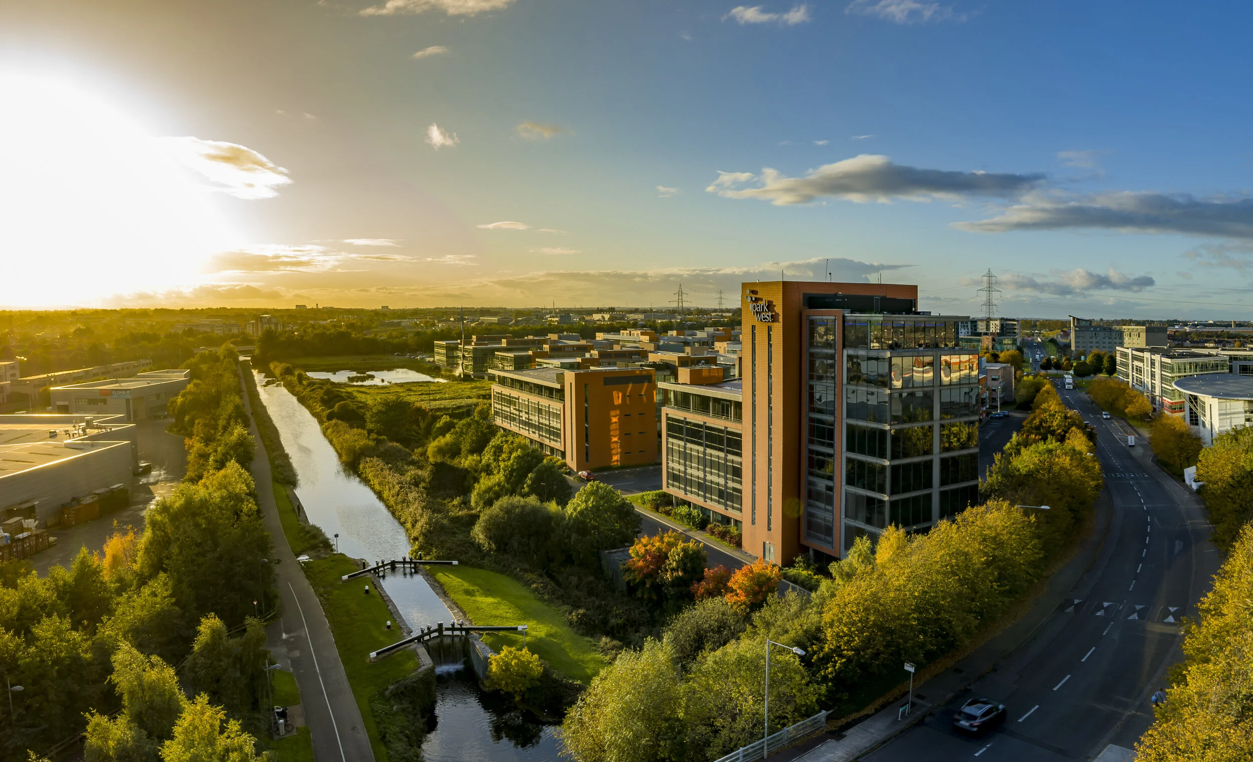
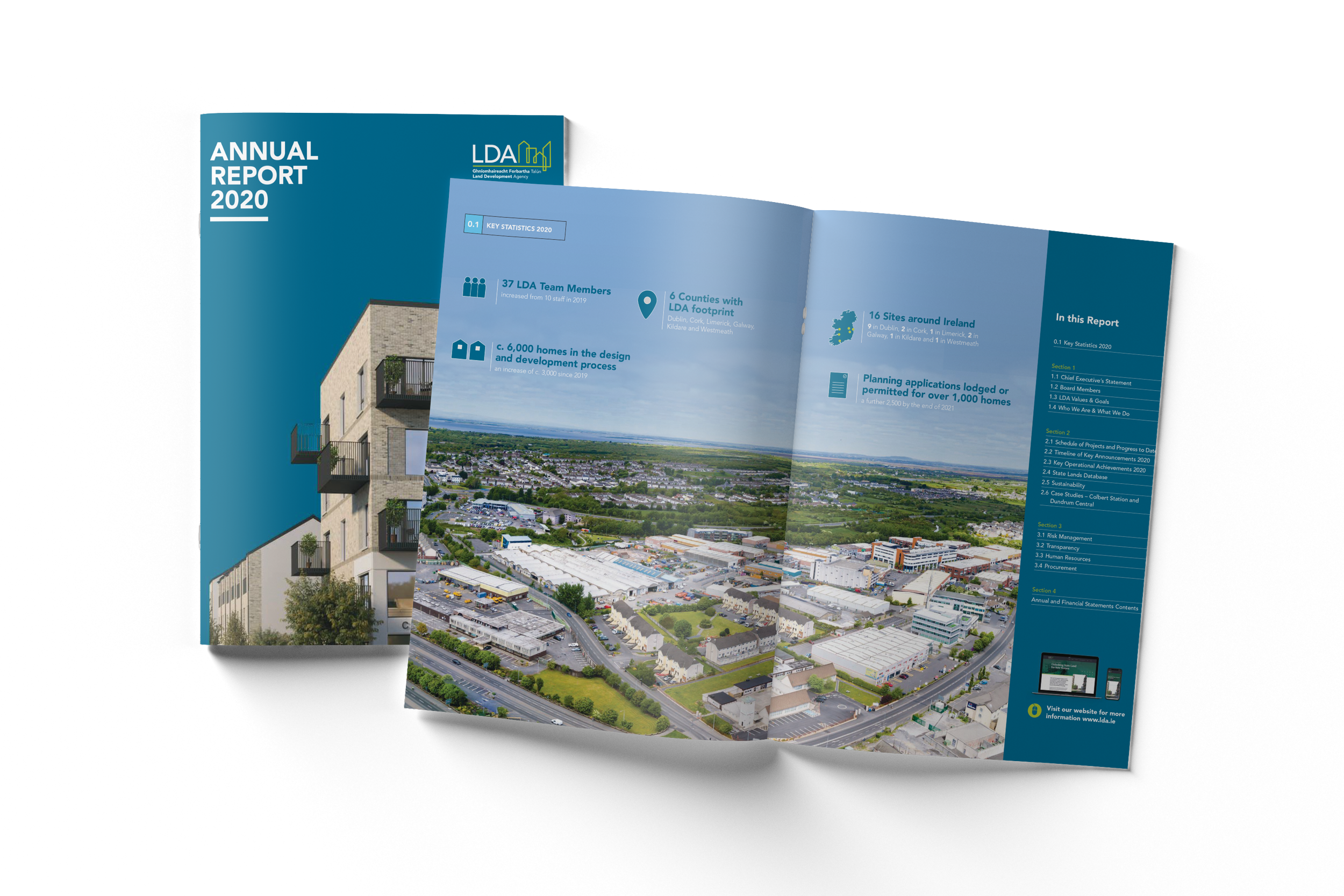
CASE STUDY
Point Square
As a trusted partner, we align our expertise with your organizational goals, delivering tailored solutions that drive measurable outcomes and long-term success.


Safety First
A SORA license, issued by the European Union Aviation Safety Agency (EASA), is a safety approval for drone operations that don’t fit into the standard low-risk rules. It’s used for activities that might involve more complicated or higher-risk situations, like flying drones over people or in busy areas.
We also hold a license for the UK
The SORA license allows us to operate in areas and to limits that other drone operators can’t access.

1KM
HEIGHT
CITY CENTRE


DISTANCE
AIRPORTS

400FT
FAST PERMISSIONS
LARGE CROWDS


Request Our Brochure
