

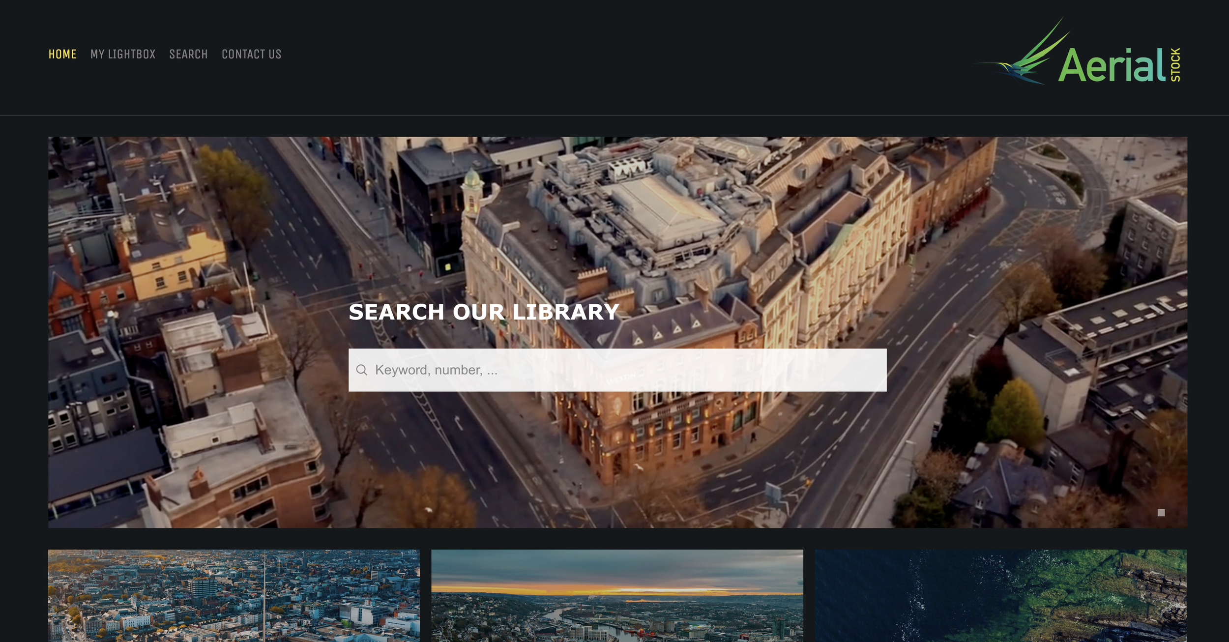
Stock Library
Ready-To-Use Aerial Footage. Exclusively Irish.
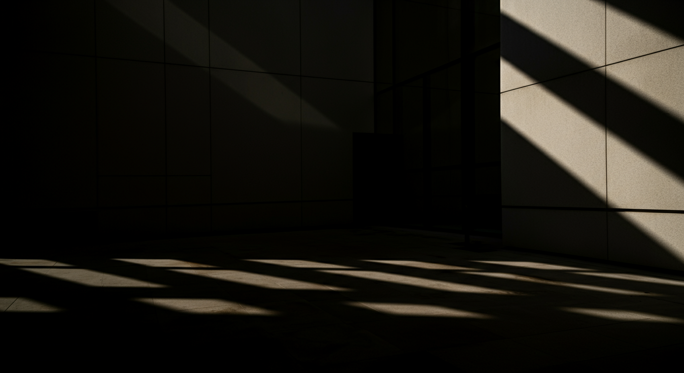
Ireland From Above
Ireland's most comprehensive collection of aerial footage and photography is at your fingertips. Our Stock Library features thousands of stunning drone shots captured across the country—from iconic landmarks and dramatic coastlines to bustling cities and tranquil countryside.
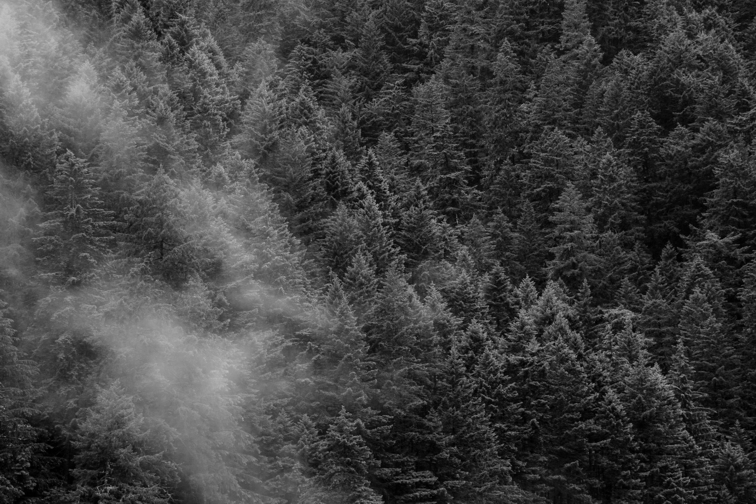
Every clip and image is filmed by our professional team using broadcast-quality equipment, ensuring you get the same production standards as a commissioned shoot. Whether you need a sweeping establishing shot of Dublin, atmospheric footage of the Wild Atlantic Way, or detailed aerial views of Irish towns and landmarks, our library has you covered.
Browse, license, and download—it's the fastest way to add world-class aerial content to your project.
Skip the scheduling, weather delays, and production timelines. Our stock library gives you immediate access to ready-to-use aerial footage and stills. Find what you need, license it, and download in minutes, perfect for tight deadlines and last-minute projects.
24/7 Access
Cost Effective
Get professional aerial content at a fraction of the cost of a custom shoot. Our flexible licensing options suit every budget, from single-use editorial to full commercial buyouts. High production value without the high price tag.
Uniquely Irish
Unlike generic stock sites, our library focuses exclusively on Ireland. Every shot is captured by local pilots who know the best angles, the best light, and the best locations. Authentic Irish aerial content you won't find anywhere else.
Our Process
Working with Aerial is a seamless and professional experience from start to finish. We handle everything from planning and compliance to data capture and final delivery, ensuring a hassle-free process for our clients. Our team prioritizes efficiency, accuracy, and safety, so you get high-quality results without disrupting your operations. Below is a step-by-step breakdown of what you can expect when partnering with us.

We begin with a discussion to understand your project’s needs, scope, and objectives. A precise flight plan is designed to capture the required data efficiently. We coordinate with your team to schedule flights at the best times for minimal disruption.
1. Consultation & Planning

2. Aerial Capture
Using advanced drone technology, we capture high-resolution imagery, videos, or survey data. Our experienced pilots ensure accuracy and safety while keeping operations quick and efficient.

3. Post Processing
Collected data is processed using industry-leading software to generate maps, reports, and marketing visuals. We refine and format the outputs to ensure they’re clear, actionable, and ready for use.

4. Delivery
Final assets are delivered in your preferred format, with explanations or insights as needed. We remain available for any follow-up questions, future updates, or additional services.
Full Production Service
At Aerial, we provide a seamless, end-to-end production service, ensuring every project is expertly managed from concept to final delivery. Our team handles everything from planning and coordination to on-the-ground videography and dynamic aerial drone filming, capturing stunning visuals with precision and creativity.

Project Management

Videography

Film Crew

Drone Filming

Post Production
Safety First
A SORA license, issued by the European Union Aviation Safety Agency (EASA), is a safety approval for drone operations that don’t fit into the standard low-risk rules. It’s used for activities that might involve more complicated or higher-risk situations, like flying drones over people or in busy areas.
We also hold a license for the UK
The SORA license allows us to operate in areas and to limits that other drone operators can’t access.

1KM
HEIGHT
CITY CENTRE


DISTANCE
AIRPORTS

400FT
FAST PERMISSIONS
LARGE CROWDS


Request Our Brochure
